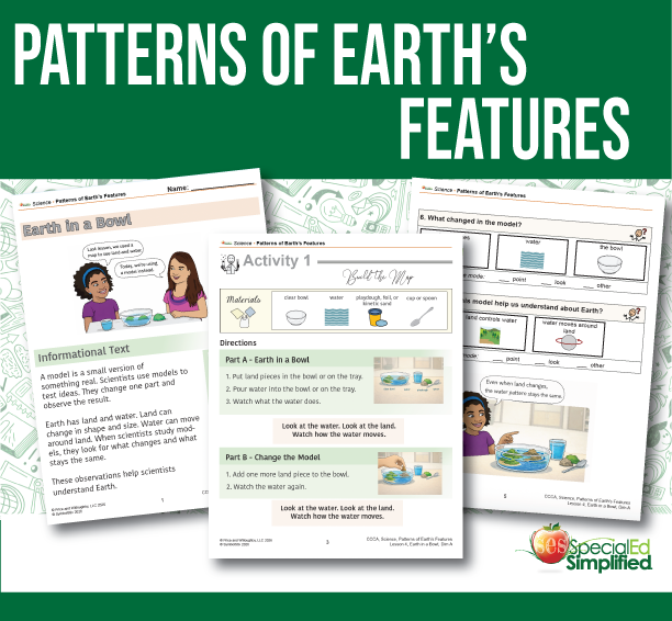
Common Core Content Activity: Patterns of Earth’s Features
Patterns of Earth’s Features is a Common Core–aligned instructional unit designed to help students explore and identify patterns in Earth’s land and water using maps, models, and structured observations. This unit supports students in building foundational science understanding through clear visuals, hands-on activities, repeated practice, and simplified language.
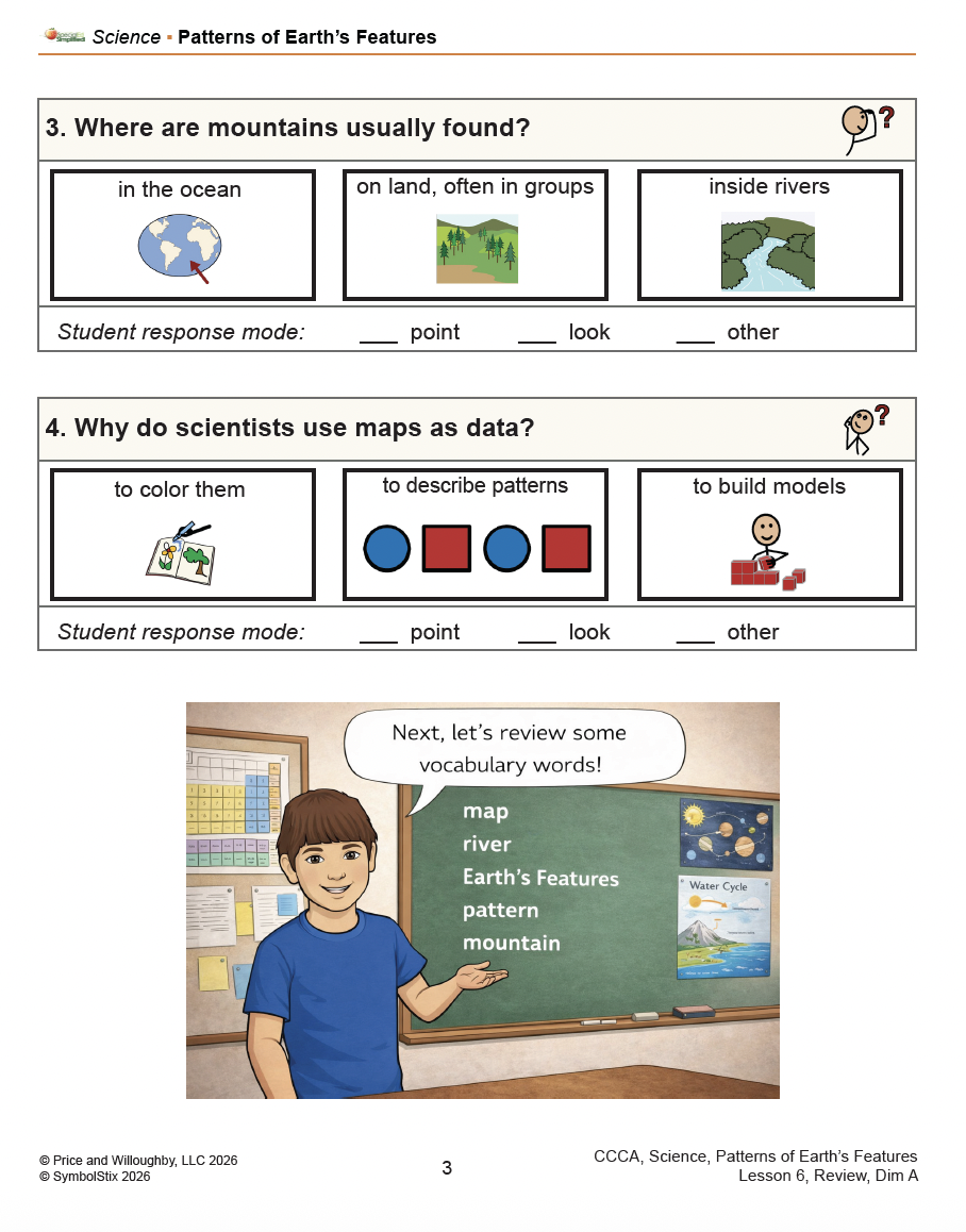
Students learn how maps represent Earth’s surface, identify key Earth features such as land, water, rivers, and mountains, and use maps as data to describe patterns. Instruction emphasizes observing what stays the same and what changes across different maps and models, supporting cause-and-effect thinking and early data analysis skills in an accessible format.
Lesson Breakdown:
Lesson 1: Pretest – Patterns of Earth’s Features
Lesson 2: Introduction & Vocabulary (maps, Earth’s features, mountain, river, pattern, data)
Lesson 3: Exploring Earth’s Features Using Maps
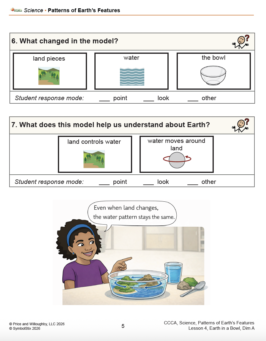
Lesson 4: Earth in a Bowl (Using Models to Observe Change)
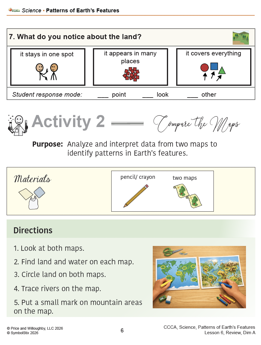
Lesson 5: Finding Patterns on Earth’s Maps
Lesson 6: Review & Synthesis
Lesson 7: Posttest – Patterns of Earth’s Features
Important Notes:
This is a SINGLE-USE LICENSE. Materials may not be redistributed.
ONLY the original purchaser may use these materials.
Activities are self-explanatory and do not include formal lesson plans.
Materials are aligned to Common Core standards only.
Price and Willoughby, LLC makes no guarantee regarding test scores.
Some instructional language and visual elements in this product were developed with support from AI tools (OpenAI’s ChatGPT and/or Gemini) and were reviewed and edited by SpecialEdSimplified to ensure accuracy, accessibility, and alignment with student needs.


Reviews
There are no reviews yet.